

Download This Map:
JPG High-Res JPG High-Res PDFAbout This Map
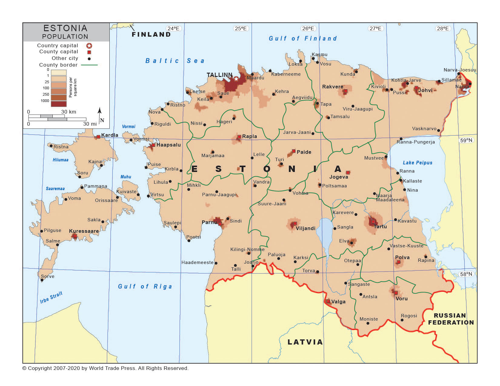
Title: Population Density Map of Estonia
Print Dimensions: 7.5 x 10.0 in
(19.1 x 25.4 cm)
Description
A choropleth thematic map of Estonia using shading to indicate density of population distribution. Also shows political boundaries, provincial borders, provincial names, major cities, country capital city, provincial capitals, major river systems, major mountain ranges and major lakes.
Features on This Map
- Legend
- Country Names
- Oceans or Seas Names
- Ocean Fill
- Country Boundary
- Coastline
- Latitude & Longitude
- Country Capital Location Icon
- Country Capital Location Name
- Provincial Capital Locations Icons
- Provincial Capital Locations Names
- Major City Location Icons
- Major City Location Names
- Major River Systems
- Major Mountains & Ranges
- Major Mountain Ranges
- Major Lakes
- Provincial Borders
Copyright © 1993-2025 World Trade Press. All rights reserved.