

Download This Map:
JPG High-Res JPG High-Res PDFAbout This Map
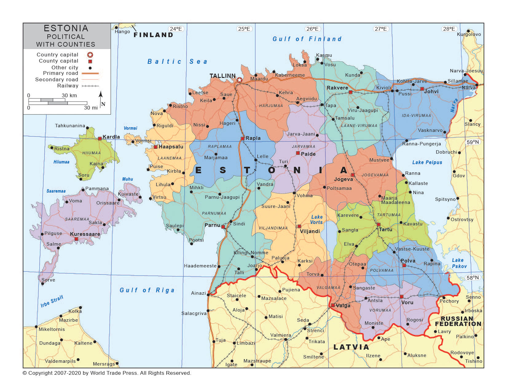
Title: Political Map of Estonia with Provincial/State Boundaries
Print Dimensions: 7.5 x 10.0 in
(19.1 x 25.4 cm)
Description
A planimetric map of Estonia showing the provincial or state boundaries with provinces in high color contrast. Also shows provincial capitals, provincial names, major cities, major highways, secondary roads, major rail lines, major rivers and major lakes.
Features on This Map
- Legend
- Country Names
- Oceans or Seas Names
- Ocean Fill
- Country Boundary
- Coastline
- Latitude & Longitude
- Country Capital Location Icon
- Country Capital Location Name
- Provincial Capital Locations Names
- Provincial Capital Locations Icons
- Major City Location Icons
- Major City Location Names
- Major River Systems
- Major Road Systems
- Major Rail Lines
- Secondary Road Systems
- Major Lakes
- Provincial Borders
- Provincial Names
Copyright © 1993-2025 World Trade Press. All rights reserved.